
The swell that had rocked our night’s passage had passed and I awoke to a steady, silent boat. I reached the deck at sunrise, just as the glorious morning light hit Village Bay on Hirta, St. Kilda’s largest island. To the north, the imposing cliffs of Boreray and iconic pillars of Stac Lee and Stac an Armin rose out of the sea like primeval sentinels keeping watch over Hirta. As I absorbed this dramatic panorama of the UK’s most remote archipelago, I felt a renewed vigour. We had made it at last.
St. Kilda’s waters are designated a Special Area of Conservation (SAC) for their rocky reefs and sea caves hosting a wealth of spectacular sea life. We were part of a scientific dive team commissioned by Scottish Natural Heritage (SNH) and led by Heriot-Watt University to undertake Site Condition Monitoring around both St. Kilda and North Rona and establish whether features of SACs could maintain themselves in the future. We all knew the potential difficulties of surveying these remote islands: strong winds, large swells and cave diving. Our survey vessel, the M/V Halton, was a rugged 21-metre converted trawler skippered and owned by Bob Anderson, an experienced local operator and diver. If anyone could get us there, Bob could, but the forecast for the next week didn’t look great as we embarked from Stromness.
Heading down the dramatic west coast of Hoy to mainland Scotland, our first day goal was as far west as possible. In a moderately uncomfortable swell, weather reports soon showed that steering straight to St. Kilda was unwise, so we approached Loch Eriboll as a contingency.
Loch Eriboll
Jutting inland for almost 16 kilometres, Loch Eriboll is the largest sea loch on the north coast of Scotland. The rugged coastline supports numerous, accessible sea caves, many of which were unexplored providing a perfect opportunity to apply some survey methods. Finding a diveable cave was time-consuming, as we were dependent on the swell, tide and resulting surge. Even a small swell at the wrong tide time caused a surprising amount of surge inside the caves, making surveying incredibly difficult.
We surveyed two caves in Loch Eriboll, both beginning as large cracks in the cliff wall forming deep gullies which narrowed and ascended at around 100 metres in. Near the entrance the sunlight quickly faded. The water was beautifully clear and turning around to look back provided spectacular views to the entrance, with the steep walls rising up to the shimmering, iridescent bluegreen ripples on the surface.
Loch Laxford
Following this success we pressed on enthusiastically, still cautiously optimistic that we’d get to elusive St. Kilda that week. Meanwhile, we steamed around Cape Wrath and started down the west coast of Scotland to the next contingency location, Loch Laxford.
Loch Laxford is more a series of rocky inlets, small islands and waterways than a distinctive sea loch. This remote section of Scotland’s northwest coast has a fascinating, slightly otherworldly landscape. The sparse, seemingly inhospitable rocky peaks and outcrops give a distinct feeling of isolation, which is quite rare in the UK.
Weather reports grew worse and more than five-metre swells, created by winds far out in the Atlantic, dashed our remaining hopes of getting to St. Kilda by the end of the week, so we shifted the focus of the survey.
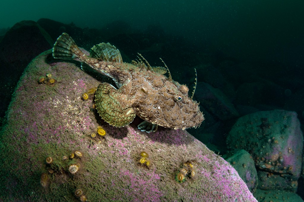
Rocky reefs are a designated habitat of the Loch Laxford SAC and, as such, are part of the Site Condition Monitoring programme. These incredibly diverse habitats provide shelter to corals, sponges, sea squirts, fish, crabs and lobsters. We dived along a transect line recording all marine life, estimating abundance, taking still and video images and collecting specimens. The transect started on the shore where another team conducted an intertidal survey.
The survey sites were an interesting mix of shallow kelp and slightly deeper boulders. A couple consisted of some fairly extensive maerl beds, a fascinating habitat of calcareous red seaweed which grows as unattached rounded nodules on the seabed. These are an important habitat for numerous types of marine life living amongst, or attached to, the surface of the maerl, or burrowed in the coarse gravel below the top living layer.
To read on, check out SD OCEAN PLANET “ISLANDS & LIVEABOARDS EDITION” below
 This article featured in SD OCEAN PLANET “Islands & Liveaboards”, text and images by George Stoyle & Richard Shucksmith
![]()


